One of the best walks in Malta! Here's what you'll discover on Xemxija's Old Roman Road
The Old Roman Road, the Pilgrims Way, the Xemxija Heritage Trail...it is known by many names!
Walking through the Old Roman Road, also known as the Pilgrims Way or the Xemxija Heritage Trail, is a classic example of how, in Malta, every few paces can bring you to a new archaeological find. From Neolithic temples, Punic tombs and Roman baths to an ancient tree, cave dwellings and a farmer's hut, this trail is scattered with interesting curiosities.
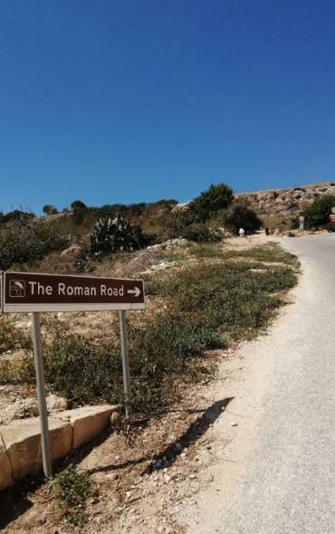
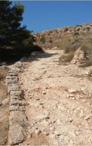
The 2000-year-old Roman Road begins at the top of the hill just behind the Porto Azzurro Apart Hotel in Xemxija - where the tarmac road veers right, a rough stone road that has stood the test of time veers left.
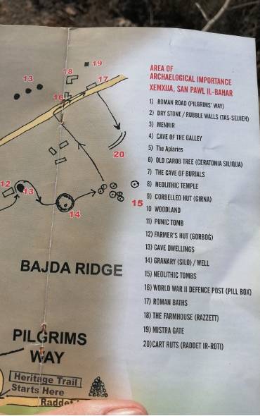
The free map of the ‘Xemxija Heritage Trail’ that's available at the Bugibba Tourist Info Point or St Paul's Bay Local Council lists no less than twenty items of interest.
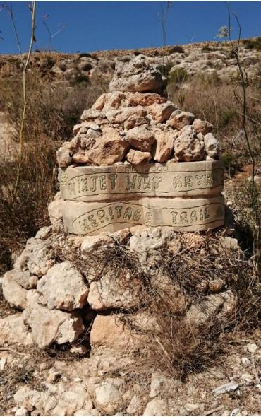
However, you can find your way around the Xemxija Heritage Trail without a map, because the area was cleared and very well sign-posted courtesy of a dedicated group of residents of the area (St Pauls Bay Heritage Group) and, additionally, by the St Pauls Bay Local Council.
The first stop is at the Cave of the Galley. A pilgrim's cross and a galley are etched into the doorway, probably an Ex Voto, or an offering of thanksgiving by a sailor or traveller who was saved from pirates, a shipwreck or another disaster by intercession of the Madonna. The cave served as a dwelling, although it was probably a tomb originally.
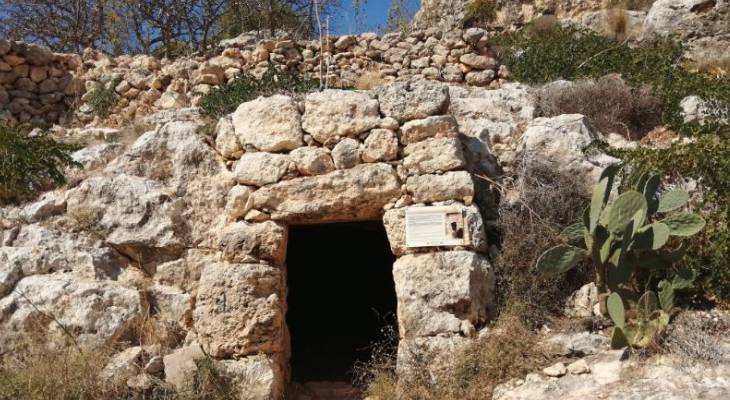
The many caves in the area had found multiple uses. Findings indicate that they were initially used for burial purposes, later for human habitation, then the production of honey and for other farm uses, such as the storage of fodder or an animal shelter. This is the famous Roman Apiary, a rather large setup that even contains the earthen pots used to collect honey.
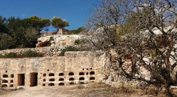
The view from here is wonderful. It is pretty now - just imagine in the days when Xemxija Bay was not scattered with buildings. It must have been a really stunning view.
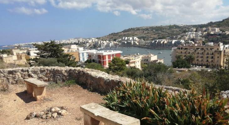
On the other side, the view stretches across the valley that leads to Golden Bay.
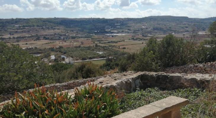
Just a few paces up the road from the Roman Apiary is what is simply known as 'the burial cave.'
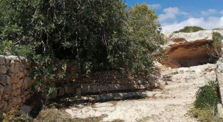
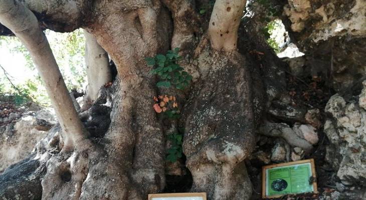
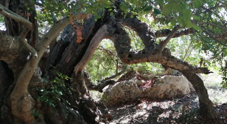
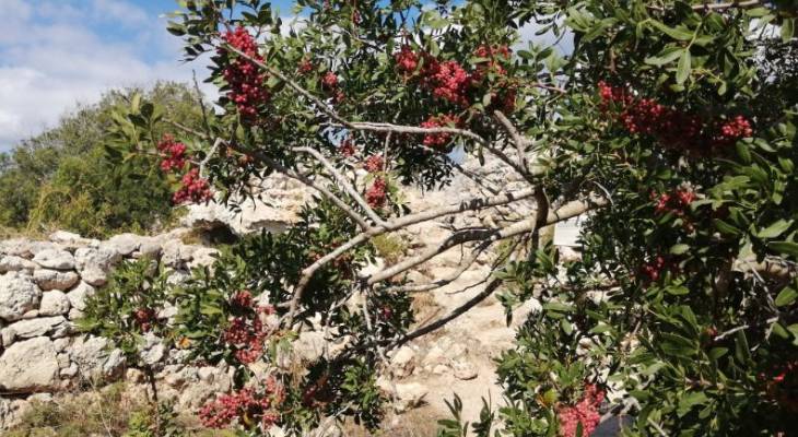
Just to the left of the cave is an ancient carob tree. The trunk is 7.25 m in circumference and the tree is likely about 1000 years old. In March 1989, Frans Scerri dedicated this poem that is now displayed on a plaque by the tree.
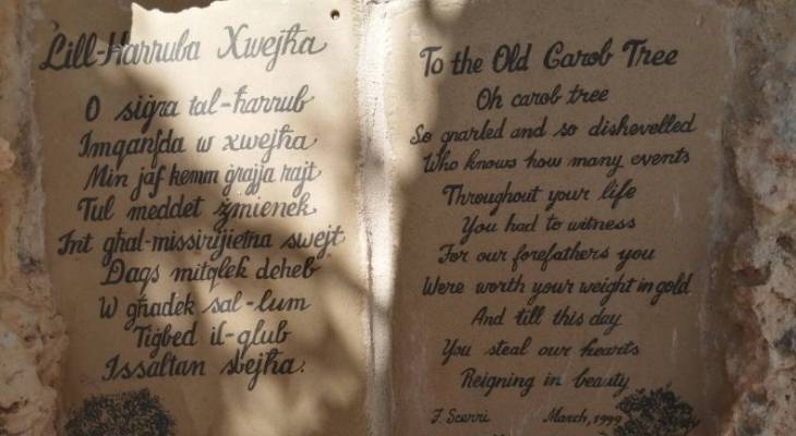
Other plaques at the foot of the tree offer some information about the carob tree and make a call to respect what is probably the oldest tree on the island.
Past the tree, there are some remnants from farmers of the past. For example, this incospicuous hole leads to a rather large cave which was probably a pen for animals.
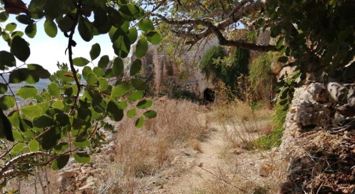
How much of it is natural and how much of it is rock-cut is unclear, but the rubble wall closing off the front is a typical feature of many caves that were adopted for human use.
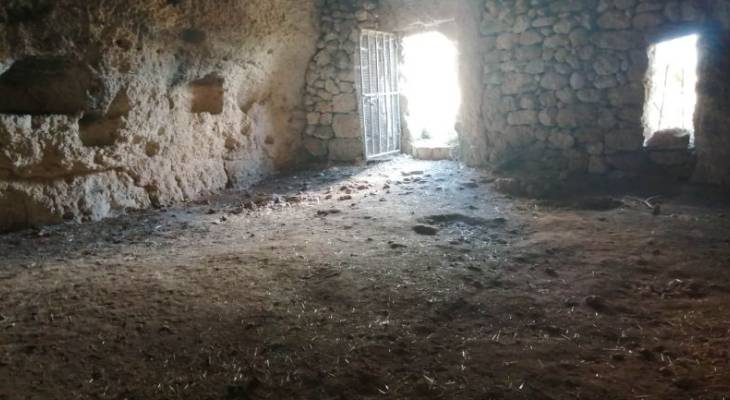
Behind the great tree is another apiary. Bees thrive on the flowers of the carob tree and produce a dark coloured honey with a carob flavour.
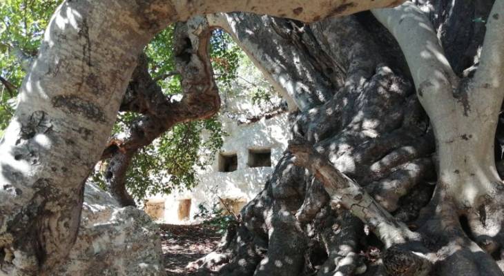
This apiary however is not a Roman one, but one made by a local farmer. The Rustic Apiary, as it is known, is just one example of several such apiaries in the area. It is quite amazing how well-preserved this is, complete with earthenware honey pots.
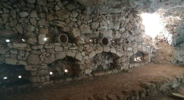
On the way out of the apiary, the amazing tree captures the senses once again. And just look at how that branch leads from the trunk back into the ground!
The Roman Road continues onwards and upwards. It is also called the Pilgrim's Way because pilgrims walked along this road to reach The Sanctuary of Our Lady of Mellieha via Manikata. The road was also use to transport farm produce and salt.
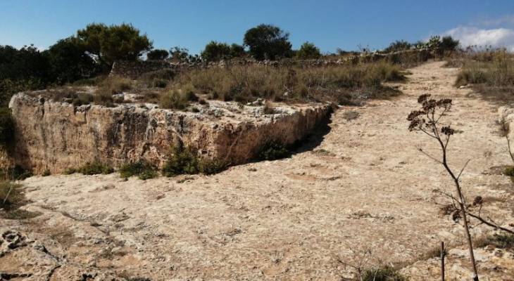
This wall displays several etched 'pilgrims crosses' at this resting place at the top of the hill. Some pilgrims etched the crosses are part of their penance. Some would even walk with their feet bound in chains.
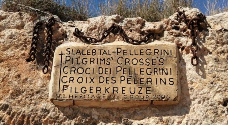
Less than 100 metres ahead is another rustic signpost made by the St Pauls Bay heritage group. There is really a lot to see in this area.
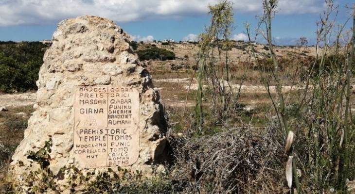
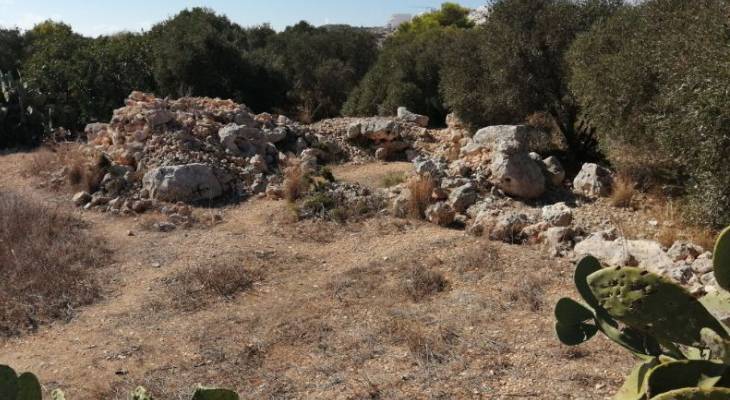
Left into the woodland, a pile of huge rocks is what remains of a Neolithic Temple that once stood here.
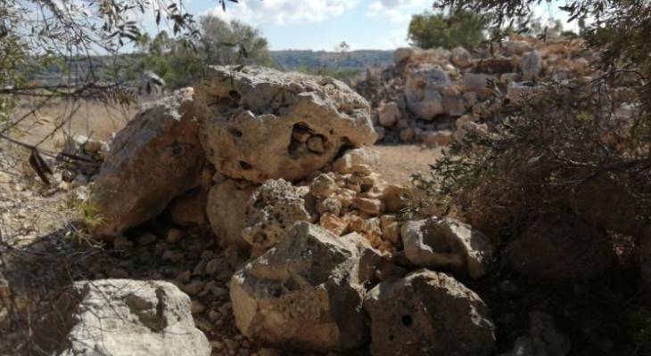
Entering the space, the pile of rocks make more sense in the context of the circular shape that defined Neolithic Temples. This one is not very well preserved. Many rocks were taken away by farmers for practical use or even to build other structures like the nearby girna or corbelled stone hut.
Back to the Roman Road, on the right, is a sign leading off the road and into the scrub.
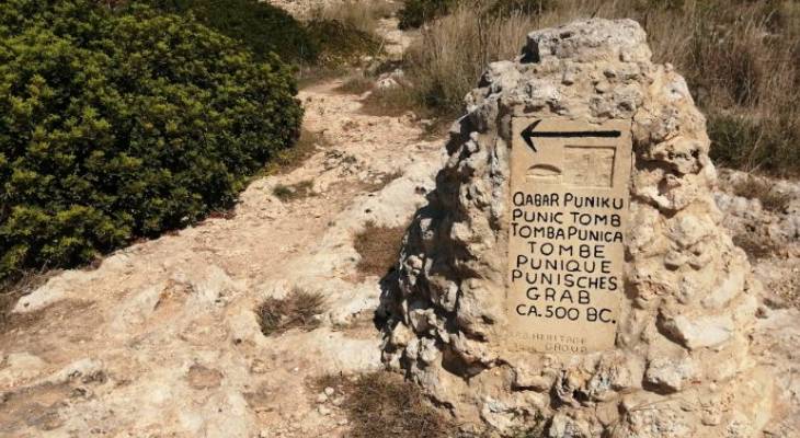
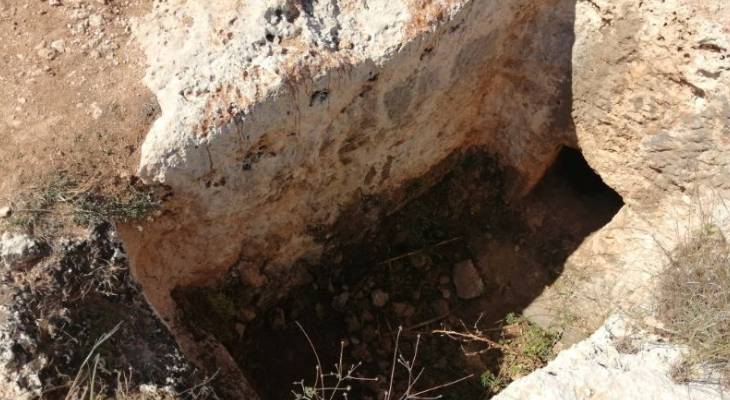
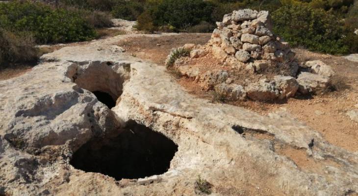
Just as the sign says, several Punic tombs are scattered across the countryside here. They are basically large holes rock-cut into the ground that were used for burying the dead.
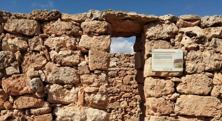
Within view, a largish building turns out to be a farmers hut reconstructed from the original stone. Notable is the lack of mortar holding it together. It has typical characteristics of a Maltese farmhouse: an outside stone bench (xriek), a water duct (mizieb), an alcove, an oil lamp niche and an outside staircase, for example.
Just behind it, a few cave dwellings include the same facade of corbelled stone that was observed earlier. The farmers hut and these caves were probably used as a complex for a period of time.
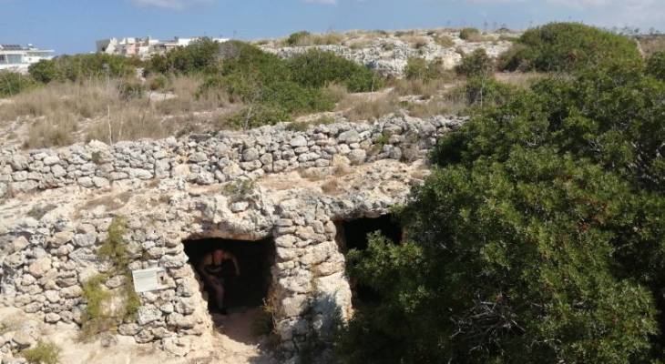
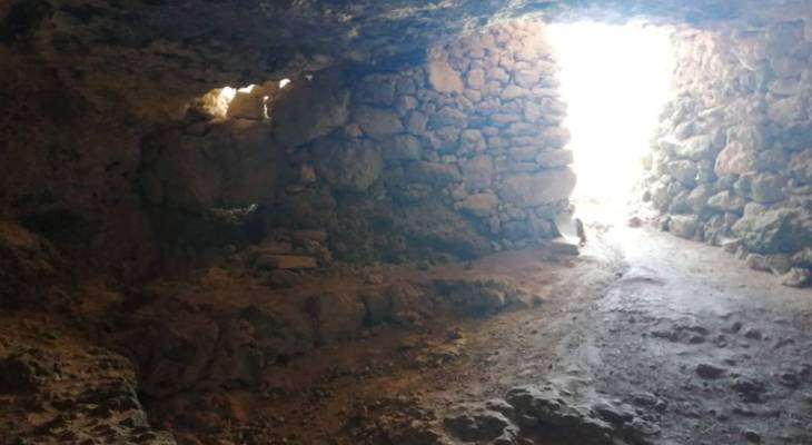
The interior of the cave dwellings is surprisingly large and laid out in compartments with more rubble walls.
Past the caves, an arrow and a rocky staircase urge along the Xemxija Heritage Trail heading east, which continues off the Old Roman Road that heads west.
The trail comes across a granary silo, or perhaps it was a well, and some Neolithic tombs. There is also a World War II defence post nearby.
The trail leads to a residential street featuring some pretty gardens. At the end of the street, the Heritage Trail continues along a long dirt road that offers lovely views of the valley between Xemxija and Mellieha.
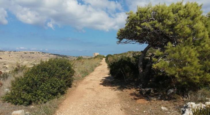
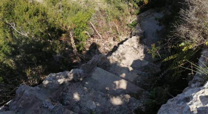
Another quaint sign and a rock staircase beckons down to the Roman Baths. From here, however, there is also the opportunity to peek at another typical Maltese farmhouse lying below.
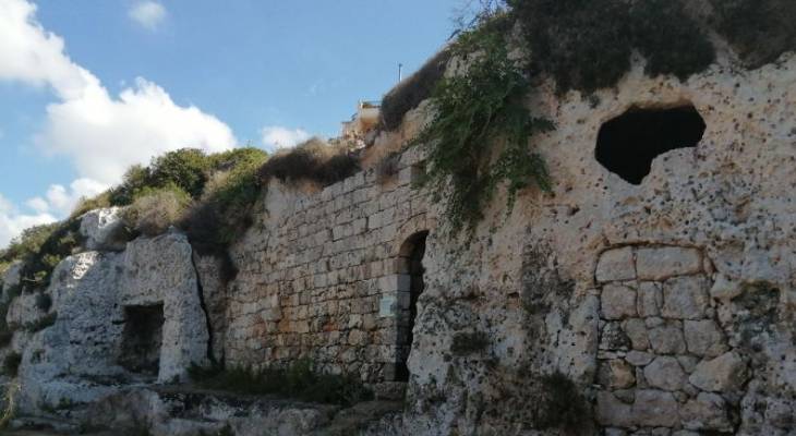
The Roman Baths look pretty grand, nestled inside the cliff face with a large entrance and window, and a large alcove to the left. For the record, a path to the right leads to some more rock-cut rooms, although their purpose is not clear.
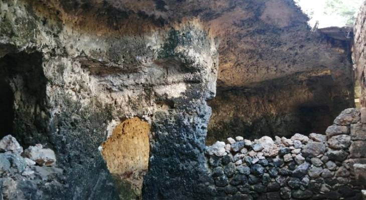
Inside, the Roman Baths have a complex layout, with areas separated by rock columns and rubble walls. There, cold, tepid and hot rooms with their pools were fed from springs that flowed down to Mistra valley from the cliffs.
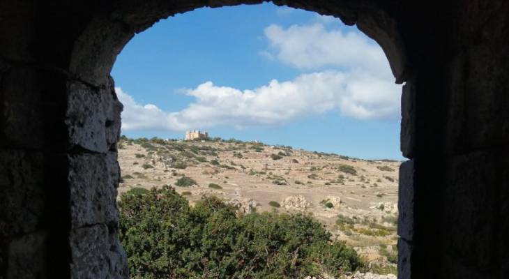
Not a sight the Romans would have seen, but this view of the 18th century Selmun Palace is pretty stunning. The arched doorway was probably added in the 17th century to turn the baths into a farmhouse. The cave itself probably has an older history as a Punic burial site around 500 BC.
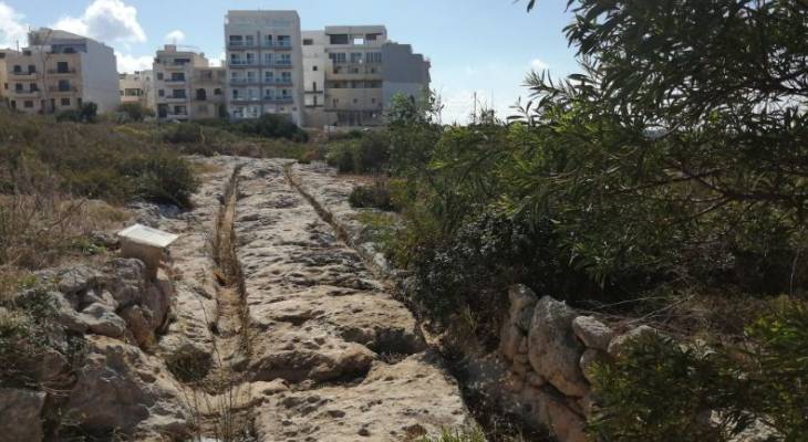
Finally, the Xemxija Heritage Trail leads to a very well defined pair of cart ruts. Despite the name, until this day, there is no clear understanding of how these parallel grooves were made and why. The fact that many cart ruts, just like these, suddenly end abruptly, adds to the mystery.
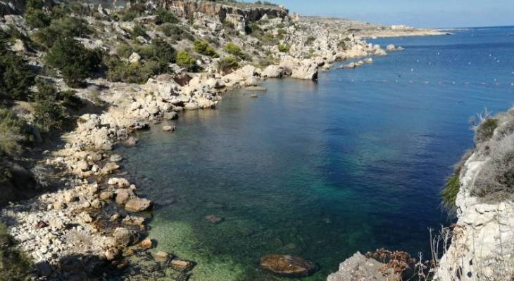
Following the map, the final point would be admiring Mistra Gate. Following my own internal compass, I head to Fekruna just behind the church to dip into the beautiful sea - highly recommended as the best way to finish off the Xemxija Heritage Trail on a warm sunny day!
Melanie Drury