From Tas-Silg to Xrobb l-Ghagin: Here's what you'll discover on a walk around Delimara
From a fort to a natural reserve, a sustainable development centre and amazing scenery!
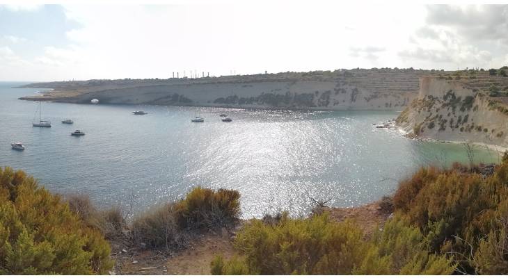
Delimara, the southernmost point of Malta, possesses a wild and extraordinary beauty, scattered with just a few but rather interesting marks of human activity.
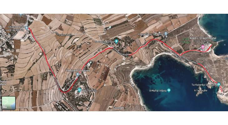
Follow this gentle and picturesque walk (about 3 km in one direction) from tas-Silg to Xrobb l-Ghagin in Delimara. The amazing scenery will captivate you.
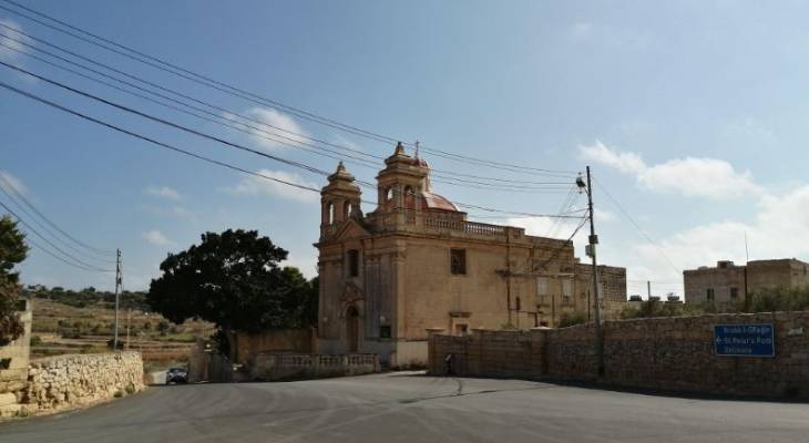
The walk starts at Tas-Silg Chapel, at the entrance to Delimara. The archaeological site nearby is one more testimony of civilisation dating back thousands of years, however the site is not open to the public due to ongoing excavations.
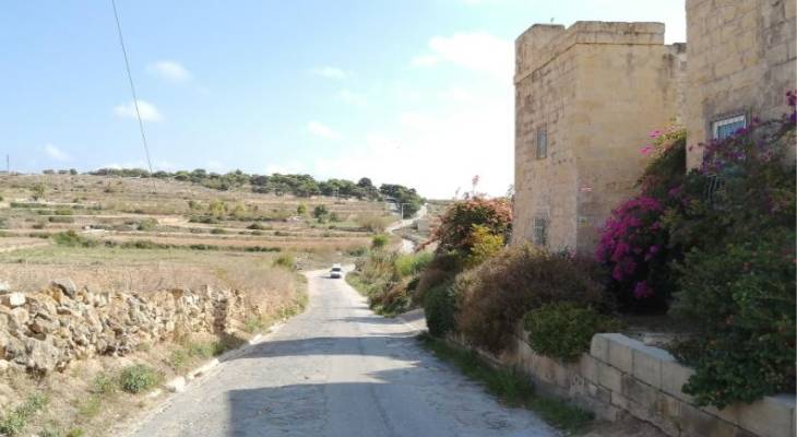
A meandering country lane heads into a wide expanse of striking landscapes with open views, the various types of Maltese natural terrestrial habitats (steppe, garigue, maquis and woodland) and the characteristic rubble walls. Part of the headland is a nature park managed by Nature Trust Malta.
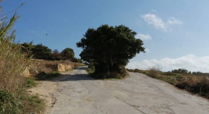
Where the road forks, take a left. The sign to Xrobb L-Ghagin on the left, and St Peter's Pool and Kalanka Bay on the right is currently missing.
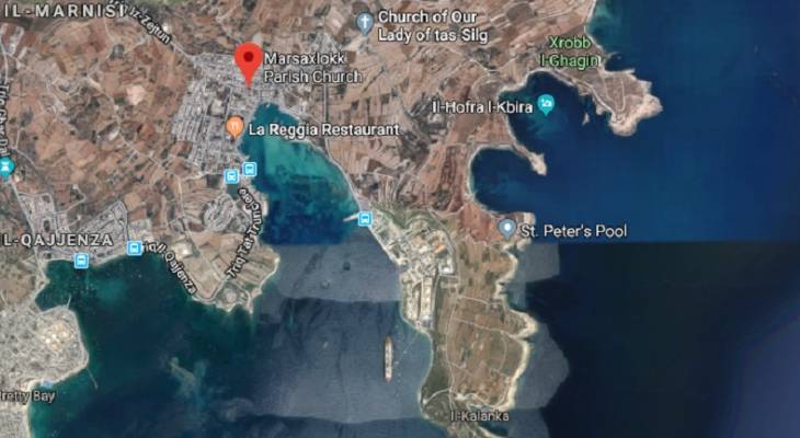
If, alternatively, you follow the coastline, at a signposted left turn you'll arrive at St Peter’s Pool, a popular paradise spot on the island. Otherwise, at the end of the road, the tranquil cove of equally stunning Kalanka Bay lies at the very tip of the Delimara Peninsula. Nearby, Fort Delimara is a polygonal fort set right inside the cliff face!
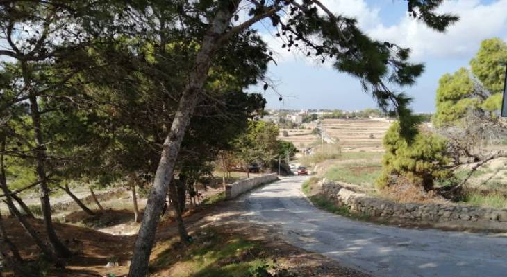
Heading towards Xrobb l-Ghagin, looking back, this is where you arrive into the woods.
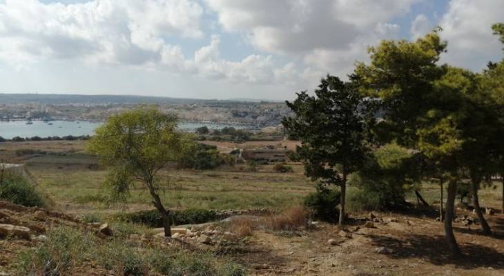
This is a popular picnic and camping area and the view of the fishing village of Marsaxlokk from here is stunning.
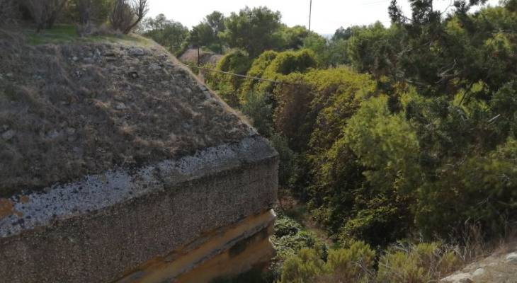
Here also lies Fort tas-Silg - just a 15-minute walk from Marsaxlokk Bay. The 19th century fort was built by the British as a fire control point for the guns at Fort Delimara.
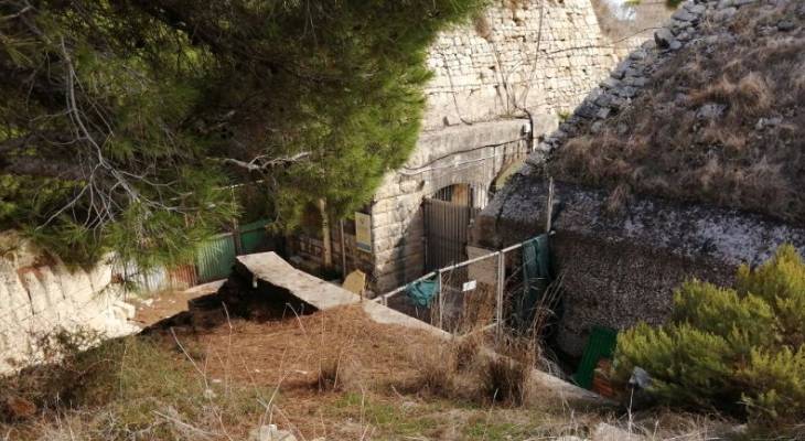
Fort Tas-Silg is now The Island Sanctuary, a dog shelter.
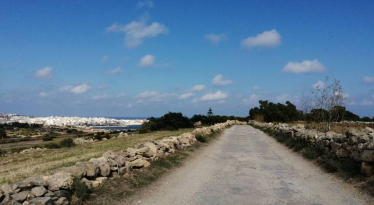
Following the road east, you can already see the sea on the other side of the island.
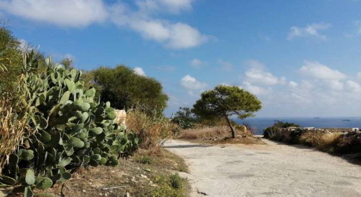
The picturesque road flanked by rubble walls and prickly pears is the epitome of Mediterranean countryside. At this fork, follow the road along the coast.
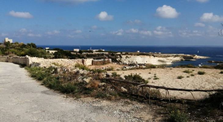
Within a few footsteps, you can already catch first views of il-Hofriet. This is where the walk will eventually bring you.
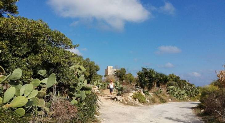
Keep following the road right along the coast. If you have time and energy, this left turn will take you to the iconic White Cliffs of Marsaskala. However, you can still see them from another vantage point by walking straight ahead.
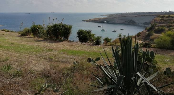
You will soon glimpse a better view of il-Hofriet (the holes), or il-Hofra iz-Zghira (the small hole) and il-Hofra il-Kbira (the big hole). The two bays are so dubbed due to their naturally circular, steep, smooth cliffs and connect with each other through a natural arch.
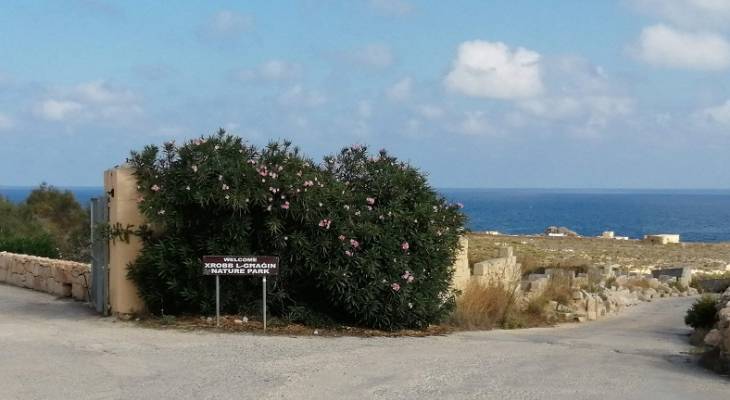
Heading down, ever closer, a sign announces your arrival at the Xrobb l-Ghagin Nature Park.
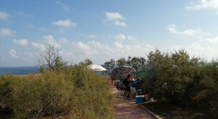
The park is signposted for various trails, picnic areas and viewpoints. Not a bad collection of things!
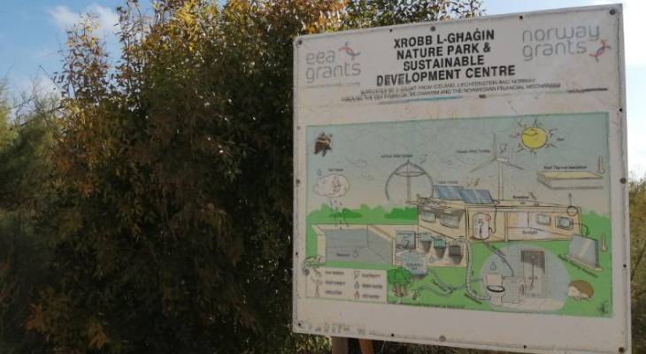
At the park, you’ll also find a sustainable development centre running on renewable energy. The project, which has received various funding, implements a variety of renewable energy and water systems and provides education about them.
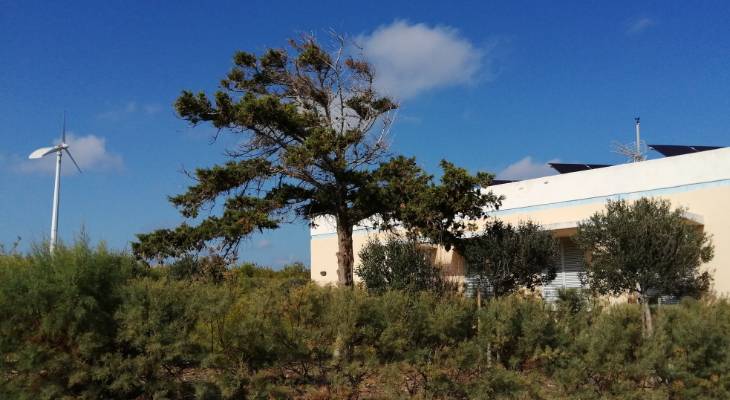
The actual thing. See the wind turbines and solar panels? The plus point is that the centre is also a high rated hostel.
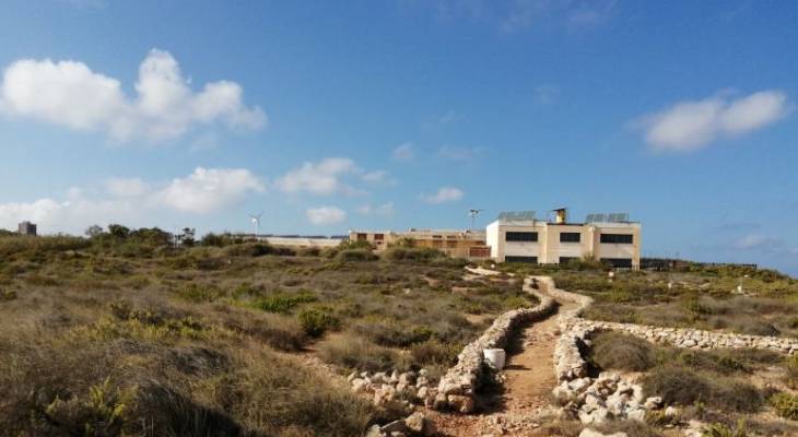
Here's a better view of the simple but clever and efficient set up. Meanwhile, part of the previously derelict building is being converted into a wildlife rehabilitation centre which will enable visitor interaction.
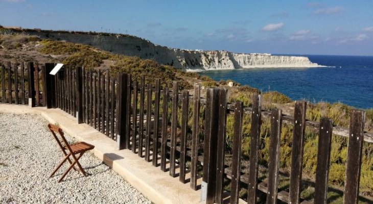
Finally, here's the viewpoint of the White Cliffs of Marsascala. Following the headland south, you can get an even better view of the expanse of snow-white cliffs gleaming in the sunlight.
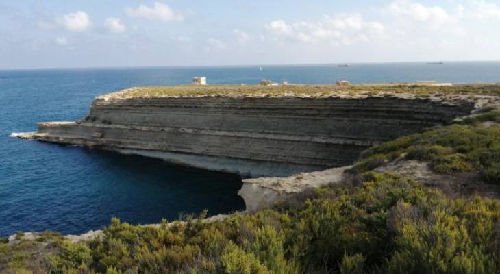
On the other side, thousands of years of erosion by fierce Mediterranean winter weather has carved the limestone cliffs into this interesting striated pattern
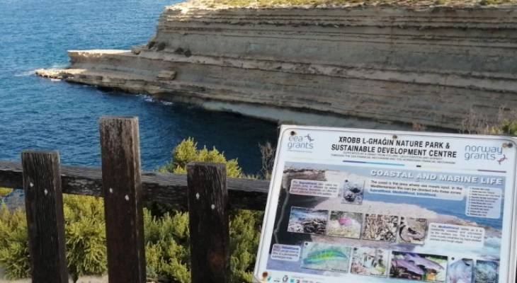
There's plenty of educational material around the park, including information about the different coastal layers and marine life. At the reception, various pamphlets and posters about local wildlife can be obtained for free.
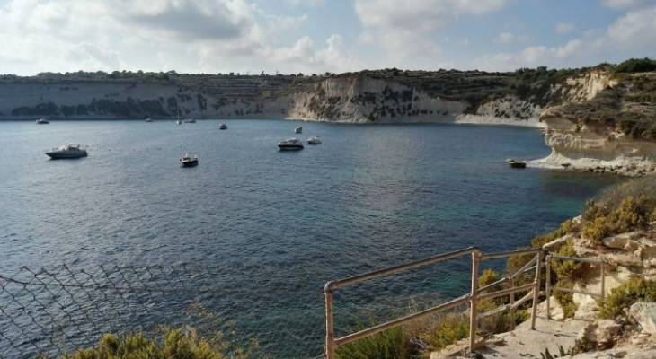
Exiting the park and heading down the last leg of the road, at the bottom you get a full view of il-Hofra l-Kbira. Some believe that the circular shape of these bays was caused by whirlpools from torrential rain during the Ice Age. Others attribute it to massive caves whose roofs has collapsed. The reason for similar formations in other parts of the Maltese Islands, such as Dwejra, is sinkholes. Whatever caused them, they look pretty awesome.
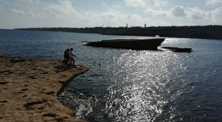
The area is one amazing, natural sculpture of rock after another. Just look at this pointy 'floating' cliff!
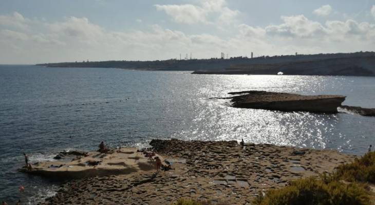
From this perspective, you can clearly see the different erosion in the different kinds of rock.
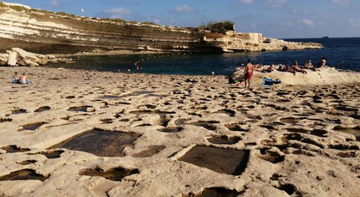
The inaccessibility of the bays makes them particularly attractive to boaters, but locals also enjoy this rocky bay at the edge of il-Hofra l-Kbira, locally known simply as Xrobb l-Ghagin, The unusual rock erosion was also used as natural salt pans.
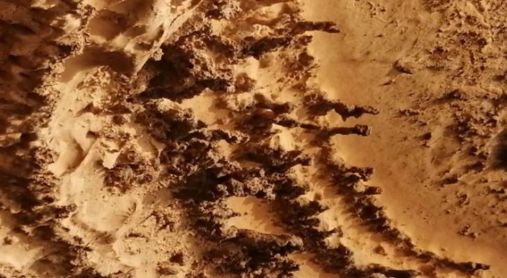
The formation of the cliffs, on the other hand, is nothing short of wonderful. You could stare at the details for hours.
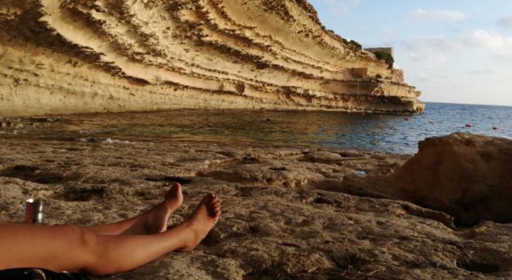
What better way to finish off a walk than by soaking your legs in the sea and sunshine? If the weather is warm and the sea feels inviting, snorkelling in this area is also a treat with its clear, blue-green waters and even an underwater cave.
While you're in the area
Delimara is just off Marsaxlokk, Malta. It's worth taking a wander around the traditional fishing village while you're here. See the luzzu boats colouring the natural harbour. Wander through the market stalls decorating the waterfront every morning of the week, reaching enormous proportions on Sundays. Indulge in a feast of fish at one of Marsaxlokk’s restaurants. The famous fishing village is the epitome of traditional Mediterranean island life.
All photos credit: Melanie Drury